Dataset Description
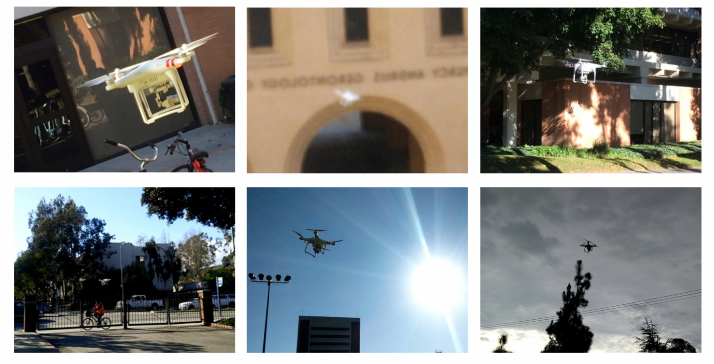
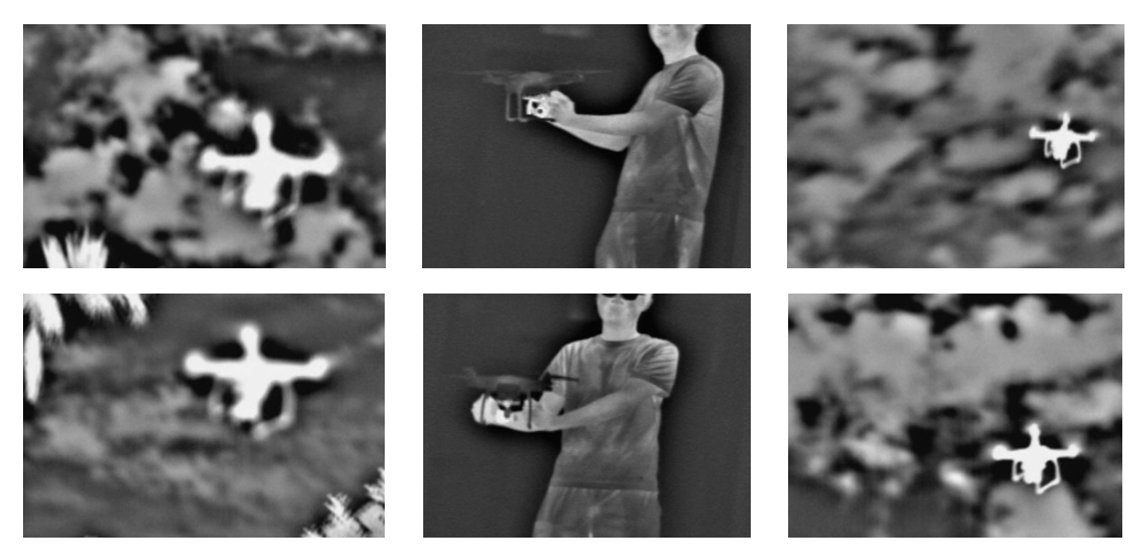
A drone monitoring system integrating deep-learning-based detection and tracking modules is proposed in this work. The challenge in using deep learning for drone detection lies in the limited amount of training drone images. We address this by developing a model-based drone augmentation technique that generates drone images with bounding box labels. For tracking small flying drones, we utilize the residual information between consecutive image frames. Our integrated detection and tracking system outperforms individual modules containing only detection or tracking. Trained on synthetic data, the system performs admirably on real-world drone images against complex backgrounds. The USC drone detection and tracking dataset with user-labeled bounding boxes is publicly available.
Our USC drone dataset comprises 30 video clips, all captured on the USC campus using a single drone model. This dataset encapsulates a broad spectrum of backgrounds, camera angles, drone appearances, and weather conditions, aiming to represent the drone’s attributes in real-world scenarios like fast motion, extreme illumination, and occlusion.
Label Format: Each label is formatted as (x_center, y_center, width, height) in pixels.
Labeling Scheme: Starting from each folder, labels are provided for the first image out of every 15 images, corresponding to images like 0001.jpg, 0016.jpg, 0031.jpg, and so on.
Video Specifications: Each video is approximately one minute long, with a resolution of 1920 × 1080 and a frame rate of 15 frames per second.
Download link (Github): DATASET LINK
Download link (Hugging Face): DATASET LINK
If you use this dataset in your work, please cite related papers:
Wang, Ye, Yueru Chen, Jongmoo Choi, and C-C. Jay Kuo. “Towards Visible and Thermal Drone Monitoring with Convolutional Neural Networks.” APSIPA Transactions on Signal and Information Processing 8 (2019).
Copyright Notice
Permission is hereby granted, free of charge, to any person obtaining a copy of the database and associated documentation files (the “USC DRONE DATASET”), to deal in the database without restriction, including without limitation the rights to use, copy, modify, merge, publish, distribute, and/or sell copies of the USC DRONE DATASET, and to permit persons to whom the dataset is furnished to do so, provided that the above copyright notice(s) and this paragraph and the following two paragraphs appear in all copies of the USC DRONE DATASET and in supporting documentation.
IN NO EVENT SHALL THE UNIVERSITY OF SOUTHERN CALIFORNIA BE LIABLE TO ANY PARTY FOR DIRECT, INDIRECT, SPECIAL, INCIDENTAL, OR CONSEQUENTIAL DAMAGES, INCLUDING LOST PROFITS, ARISING OUT OF THE USE OF THE USC DRONE DATASET, EVEN IF THE UNIVERSITY OF SOUTHERN CALIFORNIA HAS BEEN ADVISED OF THE POSSIBILITY OF SUCH DAMAGE.
THE UNIVERSITY OF SOUTHERN CALIFORNIA SPECIFICALLY DISCLAIMS ANY WARRANTIES, INCLUDING, BUT NOT LIMITED TO, THE IMPLIED WARRANTIES OF MERCHANTABILITY, FITNESS FOR A PARTICULAR PURPOSE OR NON-INFRINGEMENT. THE USC DRONE DATASET PROVIDED HEREUNDER IS ON AN “AS IS” BASIS, AND THE UNIVERSITY OF SOUTHERN CALIFORNIA HAS NO OBLIGATIONS TO PROVIDE MAINTENANCE, SUPPORT, UPDATES, ENHANCEMENTS, OR MODIFICATIONS.